The Tunnel Island Trails can only be described as a quintessential northwest Ontario hiking experience. It’s a mix of wildlife viewings, lakeshore meanderings, and scrambling over rocks, roots and Canadian Shield. With the start of the trail located right outside of Kenora, on the shores of the Winnipeg River — a waterway that flows between Lake of the Woods and Lake Winnipeg — the Tunnel Island Trails are popular among locals and visitors.
In this short guide, we’ll take you through the practical details and share our hiking experience for when you plan your trip to Kenora and Lake of the Woods.
Keep exploring:
→ Plan your trip to Kenora with our ultimate Kenora guide
→ Venture a little further and find out about the top things to do in Lake of the Woods
→ Find out everything you need to know about Rushing River Provincial Park
Practical Info and Trail Highlights
The adventure begins at a small parking lot, marking the entrance to the Tunnel Island trails. The main trails, known as the Bison trails, consist of two loops – Bison A (5.5km) and Bison B (5.6). Starting with the A loop clockwise, you’ll soon find the start to the B loop. You can either continue on the A loop, or head west on the B loop, which takes you past Norman Dam, towards Darlington Bay, looping back east where you join the A loop again, completing a circular journey back to where you began.
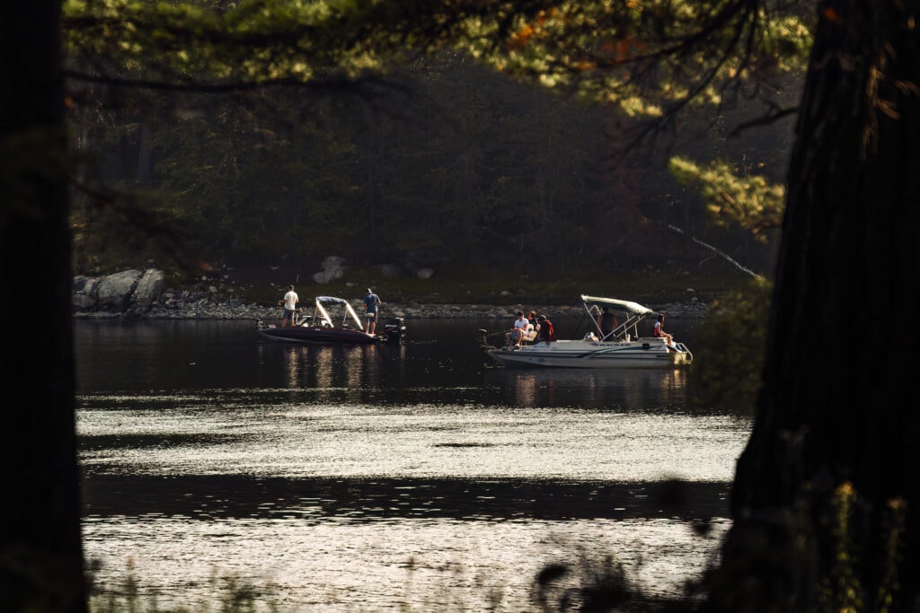
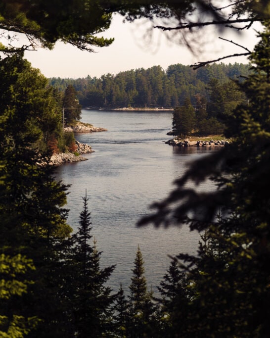
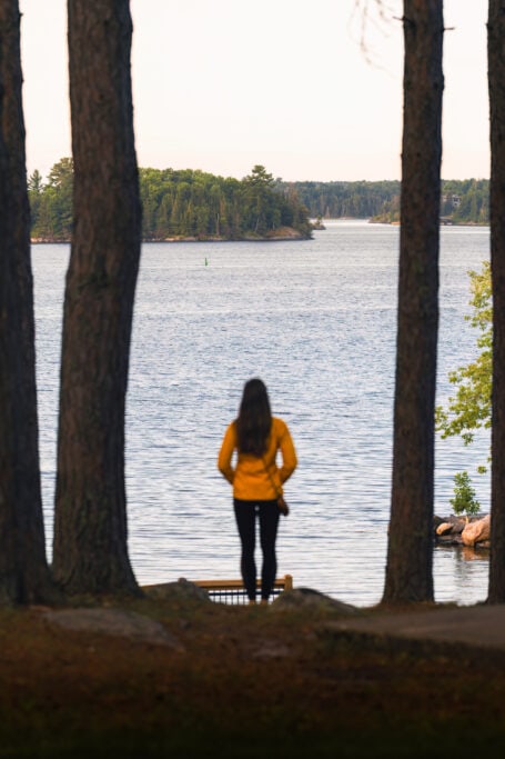
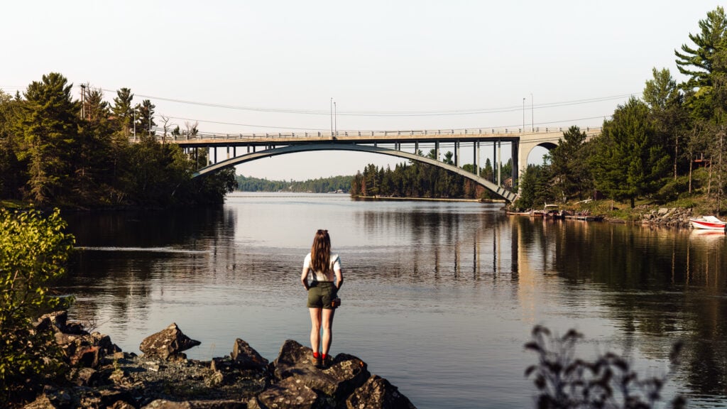
The trails treat you to a variety of landscapes – from serene forests to rocky lakeshores. Along the way, you’ll encounter viewpoints that offer panoramic glimpses of the Winnipeg River and the Norman Dam.
In addition to the Bison trails, you’ll find two other shorter trails on the island – the Voyageur trail and the Waagosh (fox) trail. Both take you through the heart of the forest while the Voyageur trail rewards your efforts with a steep climb to a lookout point.
The beauty of the trail
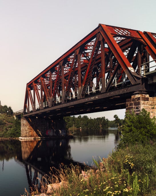
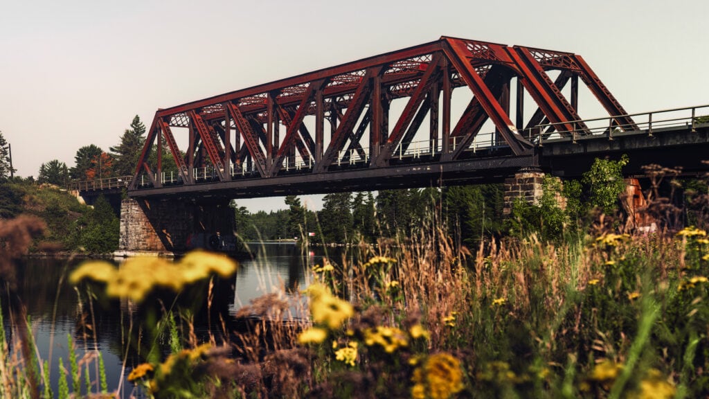
The trails offer various viewpoints and beautiful flora and fauna, ranging from man-made structures like several bridges and the Norman Dam to dense forests teeming with abundant wildlife.
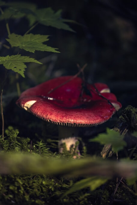
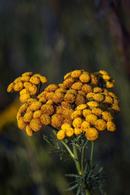
Yellow flower blossoms marked the beginning of the trail, providing a cheerful welcome. As we moved further into the forest, moss-covered tree trunks were strewn across the forest floor. Dappled sunlight accentuated the vibrant green hue, while mushrooms sprouted along the path, presenting an array of colour palettes, from dull brown to vibrant red, amidst the green.


During our exploration, we encountered multiple information plaques along the trail, which deepened our understanding of the area’s history and significance. Among them were spirit trees, whom Ojibwa people honour as healing, powerful trees. You’ll find another plaque at the Voyageur viewpoint, eloquently describing the era when Coureurs du Bois navigated these waterways in pursuit of new adventures and trading opportunities.
Wildlife on the trail
Wildlife is abundant on these trails. As we started our hike, the chirping sound of crickets followed our every step, accompanying us throughout the hike. A sudden movement drew our focus to the pond beside us, where the unmistakable silhouette of a beaver emerged. As soon as our eyes locked on him, he leapt into the water, gracefully swimming away from us.
Continuing along our path, the haunting call of a loon reverberated through the air, blending seamlessly with the cadence of our footsteps upon the rugged, root-covered trail. We had been waiting to hear its call since arriving in Kenora, expecting to hear it as night fell. Eerie, but enigmatic and beautifully haunting.
Our vision scanned the lake’s expanse, trying to pinpoint the source of the call, only to be distracted by the majestic flight of a bald eagle as it soared above the water. The eagle plunged with precision, its talons breaking the water’s surface, seizing its prize, before vanishing into the dense forest.
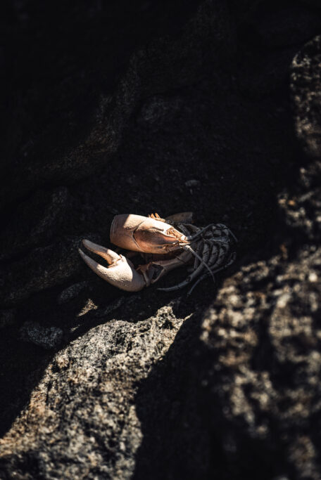
Returning our attention to the lake, we were met with the sight of a snapping turtle basking on a rock protruding from the water. Snapping turtles are listed as a species of special concern under Ontario’s Endangered Species Act and it has been illegal since 2017 to hunt and remove them from the wild.
Highlights on the trail
Indian Head Rock

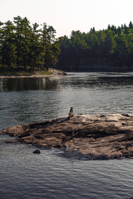
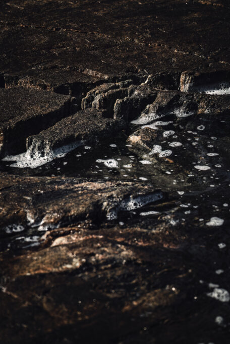
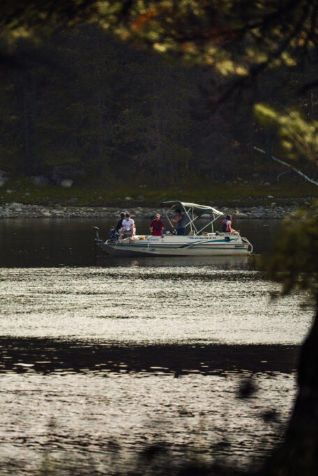
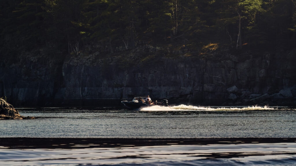
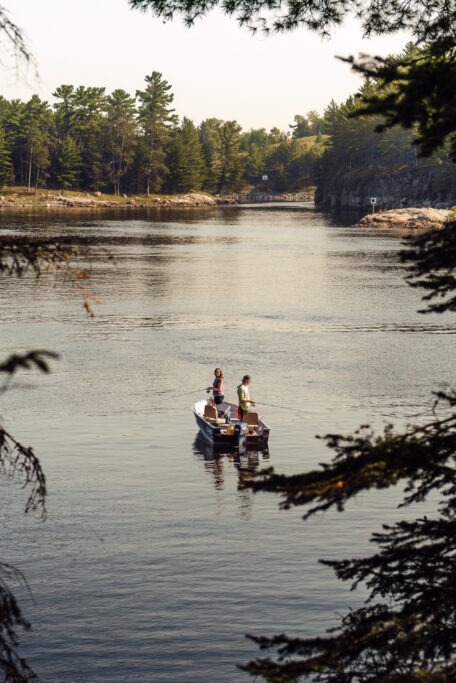
Midway through Loop A, we came upon a rocky outcrop jutting out into the Winnipeg River. From the ground, it doesn’t look like much more than a nice spot for a break, but from above, a distinct head shape comes into view. Indian Head Rock provided a perfect spot to pause and absorb the scenery all around us. Bathed in warm sunlight, we gazed out at passing boats while the waves from their wakes lapped against the rocky shoreline.
Voyageur Trail
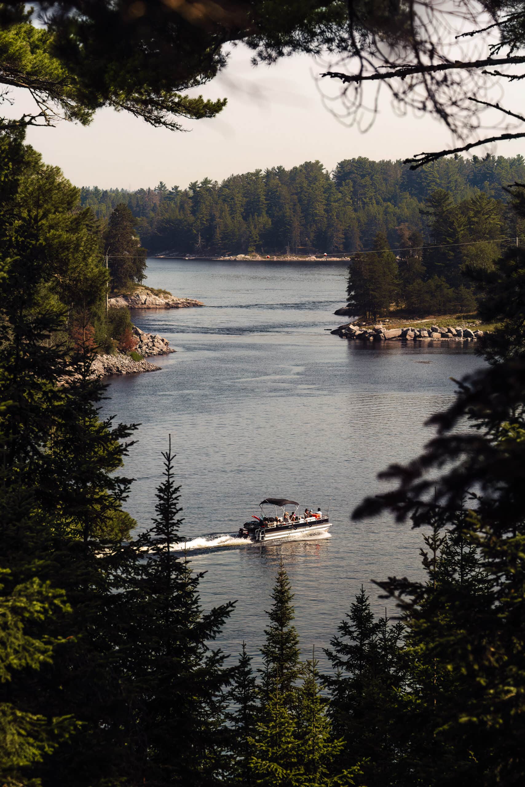
Venturing onto the Voyageur Trail, we headed onto a steep path navigating slippery rocks. A rewarding vista awaited at the top — framed by an opening in the dense forest — revealing the expansive Winnipeg River, a few kayakers and the forest canopy. The return journey along the Voyageur Trail unfolded through rocky terrain and vibrant green moss. Sunlight filtered through the pine trees, creating a play of light and shadows that danced on the forest floor.
| Good to know | If you want to get to the prettiest part of Loop A — which is the rocky lakeshore with scenic views — taking the Voyageur Trail will get you there faster than hiking the A loop
Norman Dam
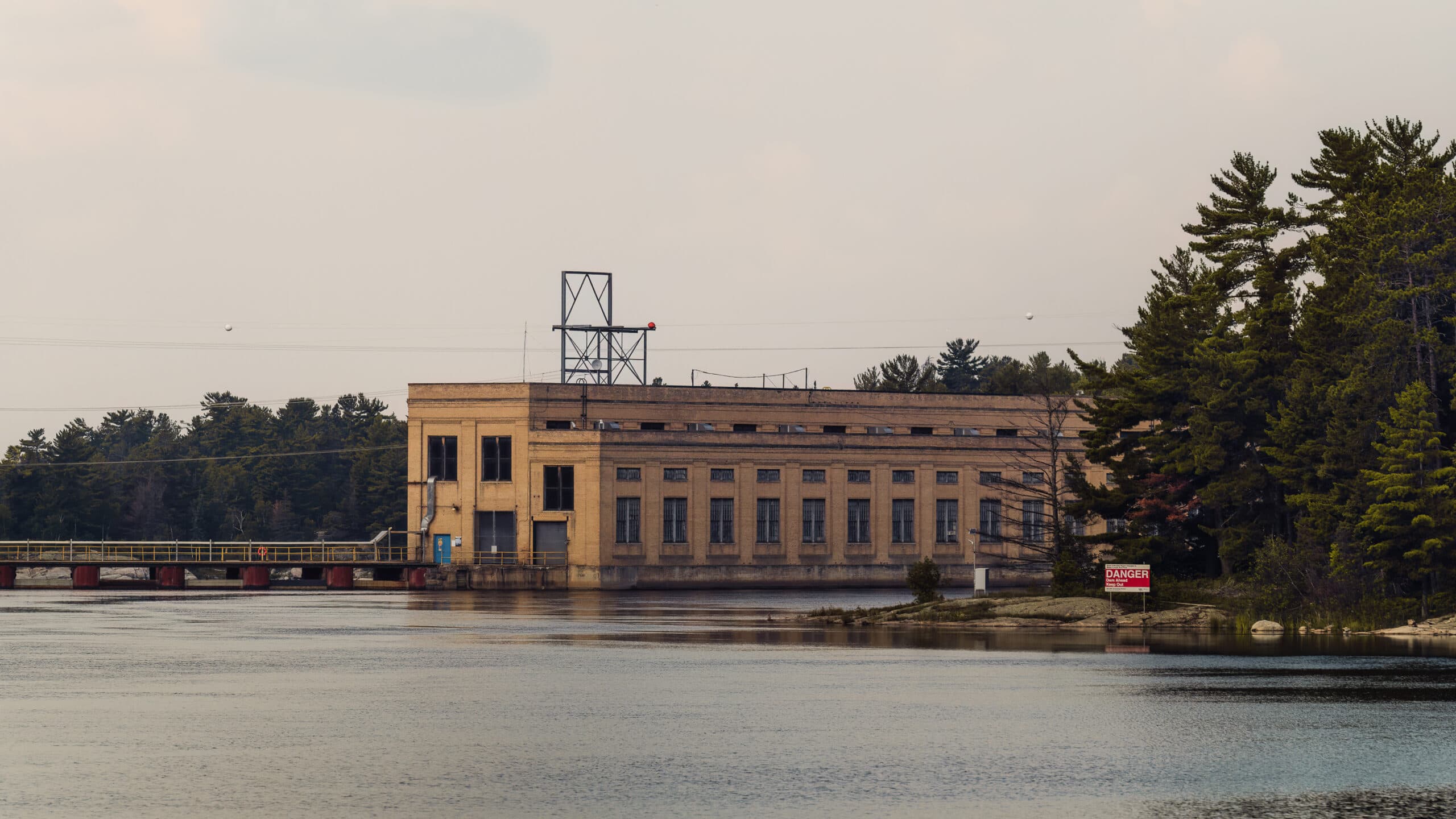
The Norman Dam came into view as we started the A loop clockwise. The Norman Generating Station is a hydroelectric power plant owned and operated by Manitoba Hydro. It harnesses the Winnipeg River’s flow to produce electricity. With a substantial generating capacity, the station contributes significantly to the regional power supply and aligns with Manitoba Hydro’s commitment to renewable energy sources. It stands in stark contrast to the natural beauty surrounding the large man-made building.
Practical Pointers
- Be prepared for the slippery surfaces of the Canadian Shield and the variations in terrain. If you choose to explore the Voyageur Trail, expect a steep, but short, ascent and descent.
- There are no outhouses on these trails.
- It’s a pet-friendly trail, but all pets must be leashed. Having said that, we encountered many dogs unleashed on the trail.
- The best time to visit this trail is from May till October.
- Don’t forget a picnic! There are many spots to stop and rest on the granite rocks.
Our trip was hosted by Tourism Kenora. As always, all opinions are our own and you will always read our genuine thoughts and experiences.

One Response
Your site is great and I plan on exploring it even more in the future. It is well written, It was a great article, thanks for sharing!